Impact story
17 February 2022Securing agricultural production with geodata tools
The agricultural sector is the largest water consumer in Egypt. Due to the increasing water scarcity issues in the country, the sector is pressured to decrease its water demands. Water efficiency and optimal water management are therefore vital areas to act upon. The Practical Farmer's Toolkit Project looks at several geodata tools to support climate-smart agriculture.
Geodata tools have been developing rapidly in the past years and are widely adopted by researchers and increasingly by policy makers. However, there is still great potential to increase the practical application of these tools in the agricultural sector. The information that can be gained from geodata tools on irrigation management, pest and nutrient management, and crop selection, is an asset for farmers.
With this in mind, the Practical Farmer's Toolkit Project was designed to present various geodata tools useful to farmers to assist their decision-making and adopt climate-smart agricultural practices.
Game-changing capacity-building programme
From May to December 2021, a consortium of Dutch and Egyptian entities helped rationalise the use of water and increase productivity in several locations throughout Egypt. The project offered a unique combination of face-to-face training, online teaching, and field schools. An extensive training programme that was both practical and innovative was used to bring this knowledge to the farmers. Invited participants for the training programme were Extension Officers and Agricultural Consultants from NGOs, private companies, or exporting companies; all actively involved in providing advisory services to Egyptian farmers.
NWP member FutureWater was one of the training providers and Jonna van Opstal, Senior Water Productivity Expert at FutureWater, one of its onsite experts. According to Van Opstal, "this project and the proposed capacity-building activities are perceived as game changers in bringing innovative remote-sensing tools to farmers and increasing the adoption of the tools amongst the farming community, ultimately increasing water productivity in Egypt's agricultural areas."
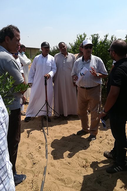
A key aspect of the training programme were the field schools, as these geodata tools needed to be shown in the practical environment of their use. A total of five field schools were installed, with small groups gathering every two weeks for meetings and learning experiences.
Furthermore, open field days and farmer meetings were held in order to reach the agricultural community. Over 100 farmers visited the field days or farmer meetings during this training programme. "Overall, this training approach was successful at bringing geodata tools to the farming community, and tailoring them to the practical and diverse settings of Egyptian agriculture," says Van Opstal.
Irrigation advisory via IrriWatch
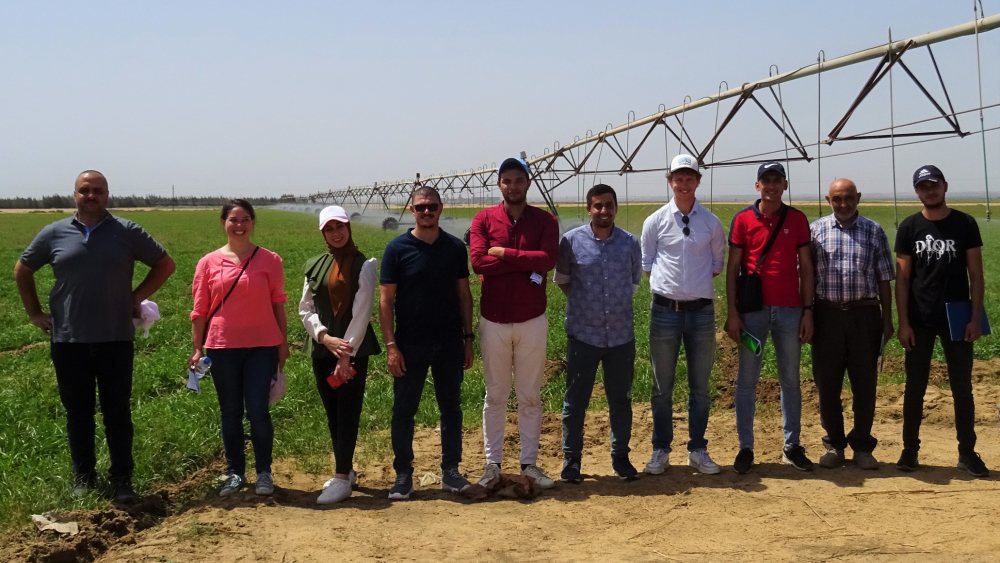
A sugar beet pivot farm in Wadi Al Natroun was part of the field schools. Using the IrriWatch Irrigation Advisory tool, the team was able to monitor daily progress of different crop varieties and crop production, allowing them to choose a suitable variety to plant the following year. Moreover, the farm manager was able to take informed decisions about irrigation, such as adjusting the speed of the pivot, using the soil's moisture status and irrigation requirements. Monitoring via IrriWatch helped identify locations with different elevations and will improve land preparation next year.
Farm management with IRWI app
A field school with maize field was the chosen setting to apply FAO's Water Productivity Open-Access Portal (WaPOR). The challenge in this case was to make the WaPOR data accessible and understandable in the field to make practical decisions. The information from the data portal was translated to a practical smartphone app for farm management, developed in Egypt and called IRWI. The information given by the IRWI app on irrigation timing of the maize fields coincided with decisions that the irrigation manager was taking, confirming good practices.
Vegetation status monitoring
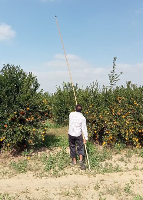
A tangerine orchard also acted as field school location. As Egypt does not allow the use of drones, improvised 'flying' sensors were created with near-infrared cameras attached to a four- to five-metre-long stick. This gave high resolution information on the conditions of the plants and exemplified the added value of having an aerial view of a farm field.
It was a great opportunity to cooperate with the Dutch and Egyptian partners. The goal is to benefit everyone, especially small farmers, as smallholder farmers do not have the means to access technology like large companies. If these farmers find an enterprise which can provide such a service through qualified personnel, this facilitates their sharing the benefits of these technologies in the new setup.
Tamer Semida
Chairman of the Board of Directors, TAMKEEN Company
Project specifications
The Practical Farmer's Toolkit Project was founded by the Dutch Government through the Partners for Water Programme 2016-2021.
The training providers consortium was comprised of NWP member FutureWater, IrriWatch, Delphy, HiView, and Cairo University.
Tamkeen for Advanced Agriculture, FAODA, IDAM, Bio-Oasis, and LEPECHA were the selected beneficiaries.
For more information, watch this recap video of the project or contact Jonna van Opstal, Senior Water Productivity Expert at FutureWater, via j.vanopstal@futurewater.nl.
Featured NWP members: FutureWater
